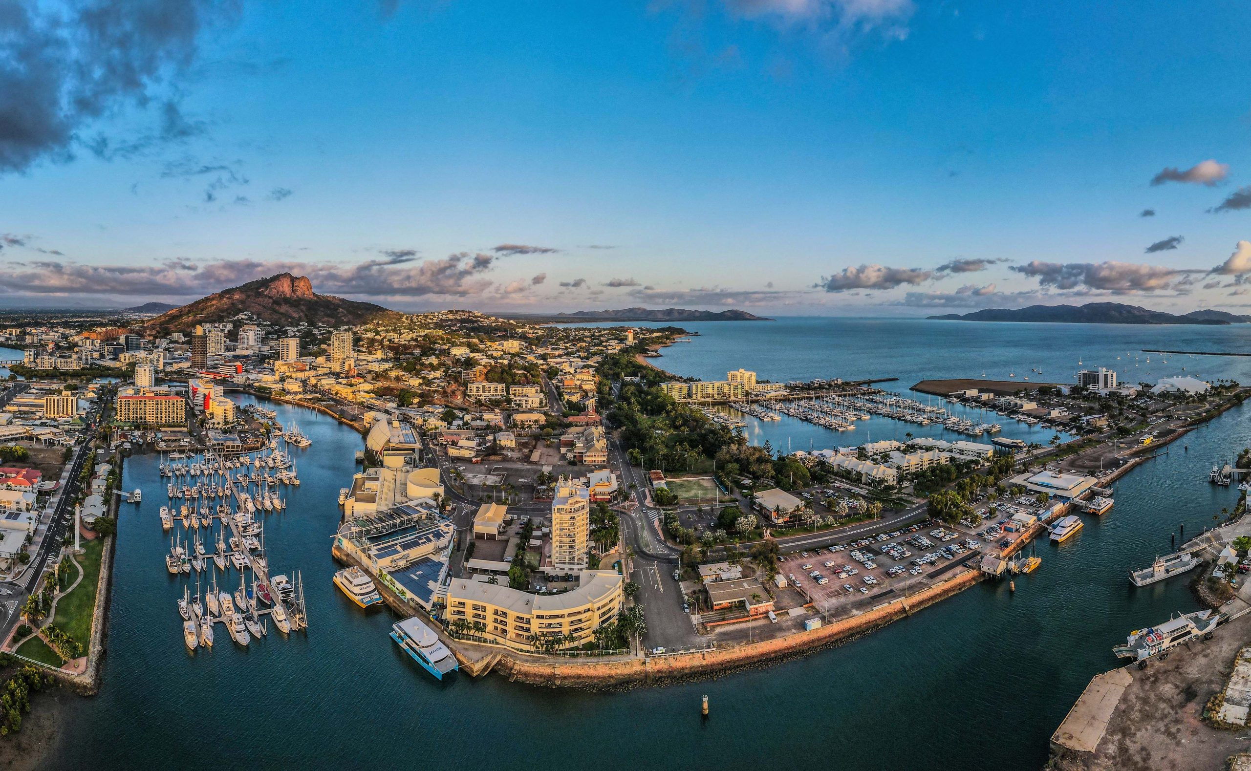
Dry Tropics locals hook into free satellite power
Land and water managers across our region are connecting to multi-billion-dollar tech — for free.
The power of satellite data for better decision-making is no secret.
Increasingly, satellite mapping and location tools are being deployed in agriculture, disaster prevention and management, environmental monitoring, marine and coastal management, and water resource management.
Vast inaccessible areas that once took years to survey are now available as daily images. We can watch from space as our land and waterscapes change in response to weather, urbanisation, clearing, fires, and floods.
With NASA’s commitment to providing open access to its satellite data, and the more than $950 million that Australian federal and state governments invest in making NASA’s data available to Australians, much of the information gathered by US satellites is up for grabs at no cost to end-users.
But are Townsville and Burdekin land and water managers making best use of the free tools on offer?
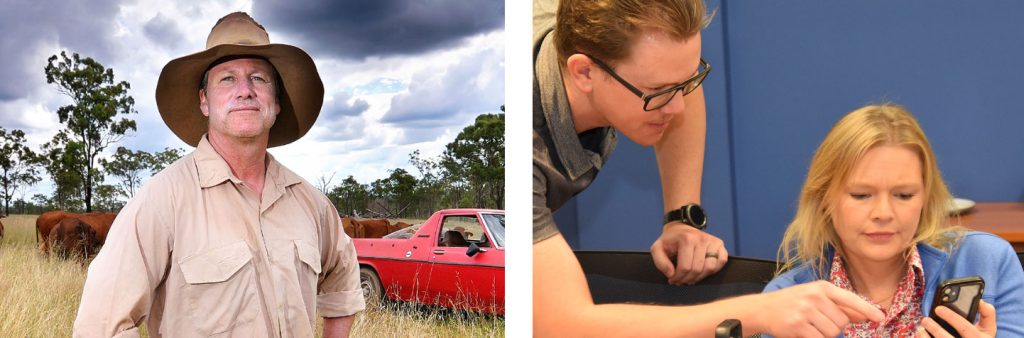
Thanks to our partners NQ Dry Tropics and their ‘Maps & Apps’ training series, an increasing number of local landholders are tapping into the latest tech.
“The industry keeps moving,” says NQ Dry Tropics Grazing Team Leader, Josh Nicholls. “These workshops help ensure landholders don’t get left behind.”
More than 100 Burdekin and Townsville people have participated in the free Maps & Apps training, ranging in age from teenagers to 80-year-olds.
The workshops focused primarily on mapping applications Queensland Globe and Avenza, a GPS tool, providing participants with skills to produce customised maps of their properties and helping them plan and analyse infrastructure and resources.
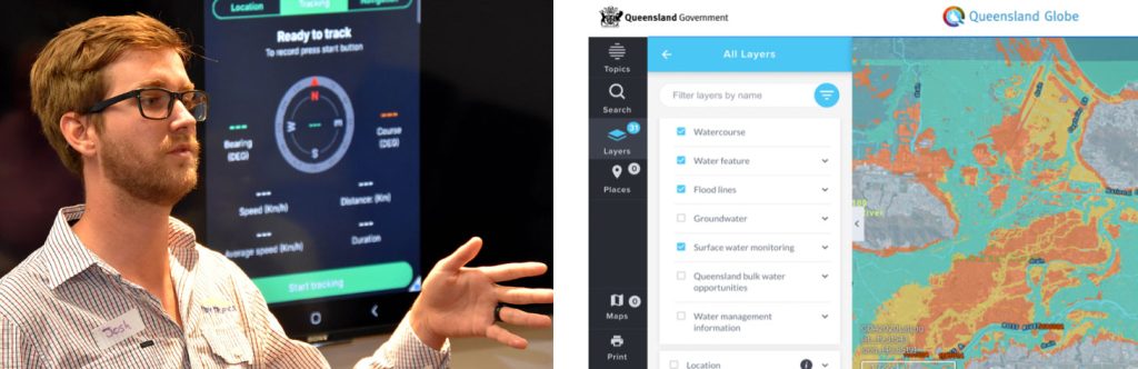
“Queensland Globe is a mobile-friendly tool which allows users to overlay an image of their property with information such as land types, soil types, terrain, property boundaries, and water catchments,” Josh says.
“Users can draw fence lines and water points, measure paddock sizes, calculate elevations, and view historical satellite imagery.”
“For the younger course attendees looking to take over land management from their parents one day, this knowledge is one of the many building blocks they will need as they progress on their journey.”
Above: The power of satellite imagery is elegantly showcased in this view of the Burdekin River, captured by the NASA Operational Land Imager (OLI) on Landsat 8.
How better use of free tools can support waterway health
“Spatial technology is playing an increasingly centre-stage role in assessing, monitoring, and managing waterway health,” says our Technical Officer, Adam Shand.
“Teams around the world are using it for sediment and erosion analysis, flooding prediction and management, hydrological modelling, and habitat mapping, among many other uses, and we’re seeing new advances every day. AquaWatch Australia, for example, promises to harness satellite data for water quality monitoring. It’s a fast-moving space.”
The 2023 Townsville Dry Tropics Waterways Report Card uses satellite mapping tools, including Queensland Globe, as well as Coral Watch from the US, and Australian Water Outlook to track and grade changes in local waterways habitat.
“It’s crucial that landholders of our region understand the power of the free spatial tools available to them if they are to be leveraged for the health of our waterways,” adds our Executive Officer, Kara-Mae Coulter-Atkins. “We’re delighted that our partners NQ Dry Tropics are seeing such demand for these courses, and hope to see more in future.”
Having delivered the Maps and Apps training for graziers and landholders across the region, members of the NQ Dry Tropics Grazing Team attended the Australian Rangeland Society 2023 conference in Broome to speak about the success of their workshop program.
NQ Dry Tropics — Stewards of our waterways
NQ Dry Tropics is an independent, not-for-profit company delivering extension, training, and on-ground NRM (natural resource management) work to improve landscapes, livelihoods, and communities across our region.
Through a range of initiatives — including the Maps and Apps workshop series — NQ Dry Tropics staff work with landholders such as graziers to increase groundcover for better productivity, while improving water quality for corals and seagrasses by reducing soil erosion. See their latest Annual Report here.
The Maps and Apps workshops are part of the Herding Change Through Grassroots Recovery project, funded by the partnership between the Australian Government’s Reef Trust and the Great Barrier Reef Foundation. Learn more about the workshops here.